Understanding Military Sites
This section describes how to investigate military sites to understand their significance, to inform their protection and future management. It also provides you with examples of many different types of investigations and links to further information.
Extensive surveys
We carry out investigations to identify military sites and to assess their significance. These include broad national overviews based on documentary research, cartographic and internet sources, and original fieldwork.
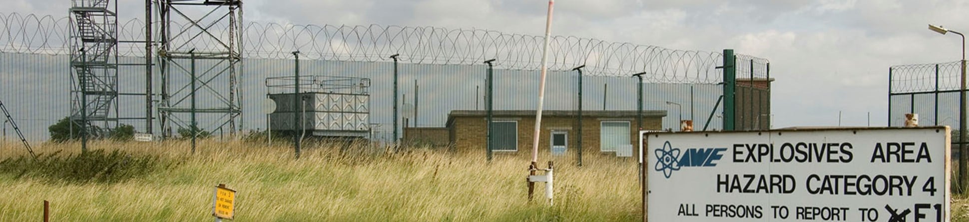
National surveys have studied the explosives industry and the Cold War leading to authoritative publications and the protection of the most significant sites. Regional studies have focussed on the military training estate on Salisbury Plain, Wiltshire, and the heavily fortified Isles of Scilly.
The analysis of air photography by the National Mapping Programme also routinely plots military sites. Many of which were previously undocumented. It is a key technique for discovering former military landscapes and has been used to document defences along Suffolk’s coast and to plot the remains of a First World War camp at Seaford, East Sussex.

Characterisation
Characterisation is an important method for the historical understanding of military sites and areas dominated by military activity. On large sites it is also an effective technique for determining future management needs. At Gosport and Sheerness, characterisation has been used to understand how the former dominating military presence has shaped these towns. Finer grain characterisation projects have explored large individual sites to inform future management, including RAF Scampton, former RAF Upper Heyford, and the underground facilities at Corsham.
Rapid assessment surveys
Working with the Ministry of Defence we have developed a rapid assessment template for assessing sites prior to sale or substantial redevelopment. In many instances, due to their closed and secretive nature, their historical significance is not well understood, and many are inadequately recorded in national and local heritage databases. The template contains a short history of a site, a brief assessment of its significance, and an initial identification of features that may be of national or local interest. Information on the histories of the sites is made available on PastScape. In some instances low level oblique photography may also be used to quickly record sites. You may read the results of our pilot study undertaken in Wiltshire.
Detailed surveys
By the end of the Second World War the military controlled an estimated 20% of the land. If we include military land abandoned in early periods and land acquired at a later date, a high percentage of the country has at one time been devoted to defence. In any large survey area, we expect to find traces of former defence activity. An earthwork survey of Buildwas Abbey, Shropshire, found traces of a searchlight battery. At Sutton bank hillfort, North Yorkshire, weapons pits were found that had been dug to defend the adjacent airfield.
At Catterick, North Yorkshire, a Historic Area Assessment is being carried out of the army camp and the settlement that has grown up around it. Some sites will merit full ground survey, often in advance of protection, conservation, and presentation, for example at Repository Woods, Woolwich and Orford Ness, Suffolk.
Standard techniques of analytical archaeological survey and buildings analysis are used. These will be supported by documentary research and sometimes the recollections of former personnel. In the absence of other evidence archaeological investigation is the only means of investigating these sites.
Prior to the closure of RAF Coltishall a detailed photographic survey was able to capture the working life of a base. You may find copies of more recent surveys in our on-line and Research Report series and copies of earlier reports and photography are available from our Archives.


