Geophysical Survey
Geophysical techniques play a vital role in discovering new archaeological sites as well as helping to define and interpret remains that are not completely understood.
They allow us to “see beneath the soil” without disturbing the ground and can examine large areas rapidly. These features make geophysics a key methodology supporting Heritage 2020, valuable when it is undesirable to excavate or the area is too large.
Archaeological geophysics
Geophysical survey is a broad term covering the suite of detection methods used to map contrasts between the physical properties of buried archaeological remains and the surrounding soil.
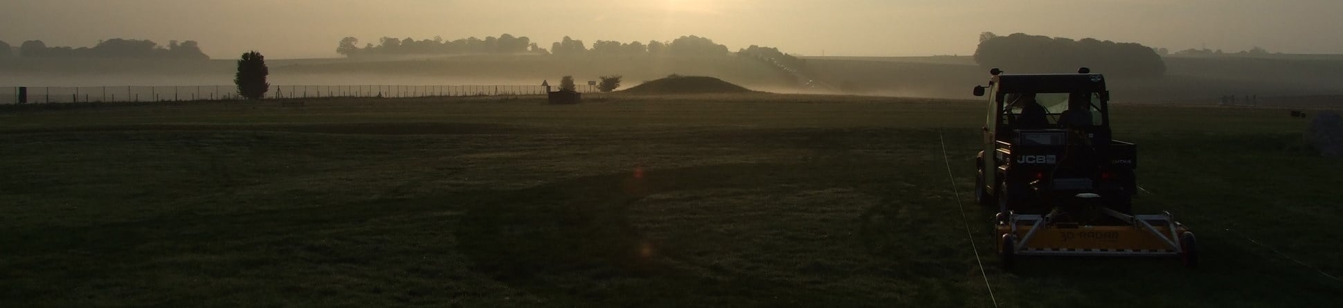
Readings are collected in a systematic fashion over a site using a range of different instruments to measure the magnetic, electromagnetic and moisture contrasts associated with archaeological features. The instruments most commonly used are magnetometers, earth resistance meters and Ground Penetrating Radar (GPR) systems.
Surveys can now cover very large areas quickly, for example encompassing an entire Roman town. The results can rapidly transform our knowledge of such settlements leading to improved management at a landscape scale.
Understanding of a wide range of archaeological sites is significantly enhanced through geophysical investigation and examples of monuments that can benefit include stone circles, barrows, hillforts, Roman camps and villas, industrial sites, deserted villages and historic gardens amongst others.

Geophysical techniques
Choice of the best geophysical technique to use depends on several factors including the type of site, the expected nature and burial depth of the archaeological targets and the area to be covered given the time available. Local site conditions such as vegetation, geology, soils and terrain also influence the decision.
Different geophysical techniques have unique and often complementary roles to play in the location and interpretation of archaeological sites.
They are therefore generally best employed in combination to maximise the information obtained. Advice on suitable survey specifications can be found by following the link to the guidelines document.
Geophysical survey forms one element within the wider field of remote sensing. This is concerned with providing information about the ground and sub-surface without intrusive disturbance. It includes airborne and satellite sensors, geophysical methods and other ground based techniques such as terrestrial laser scanning.
All of these techniques (now combined within the Historic England Remote Sensing Team) share a common aim; to reveal more of the hidden past that lies buried beneath our feet. This is achieved by the remote capture of visual data or imagery that can be analysed for the presence of archaeological information.
-
Dunstable Priory, Dunstable, Central Bedfordshire: Report on Geophysical Survey, May 2021
Ground Penetrating Radar survey revealed detail of the Lady Chapel and apsidal end of the church immediately east of the surviving Priory Church
-
Kirby Hall, Gretton, North Northamptonshire: Report on Geophysical Survey, July 2021
A Ground Penetrating Radar survey investigated the floors of a storeroom and the Great Hall after the collapse of a flagstone.
-
Launceston Castle, Launceston, Cornwall: Report on Geophysical Surveys, January 2022
The aim was to identify remains surviving within this area, in order to improve visitor information and better inform the management of the site.
-
Belhus Park, Thurrock: Report on Analytical Earthwork, Uav and Geophysical Surveys, March 2021
Investigation of a Tudor manor house and garden beneath a golf course
Archaeological Investigation
-
Email
[email protected]
-
Address
EC4R 2YA


